Nergizlik Barajı ve köy
Nergizlik Dam and the village
01.02.2023
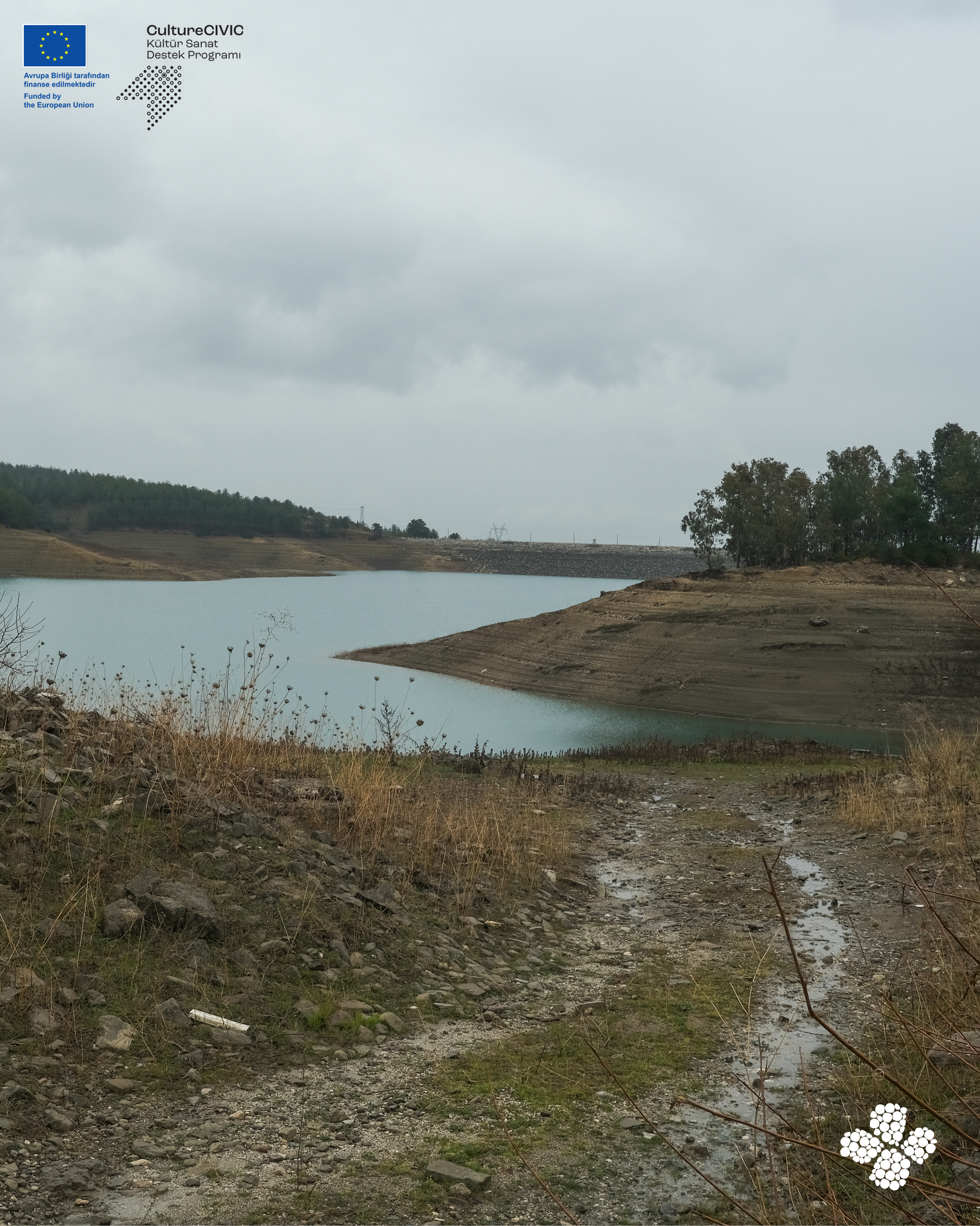
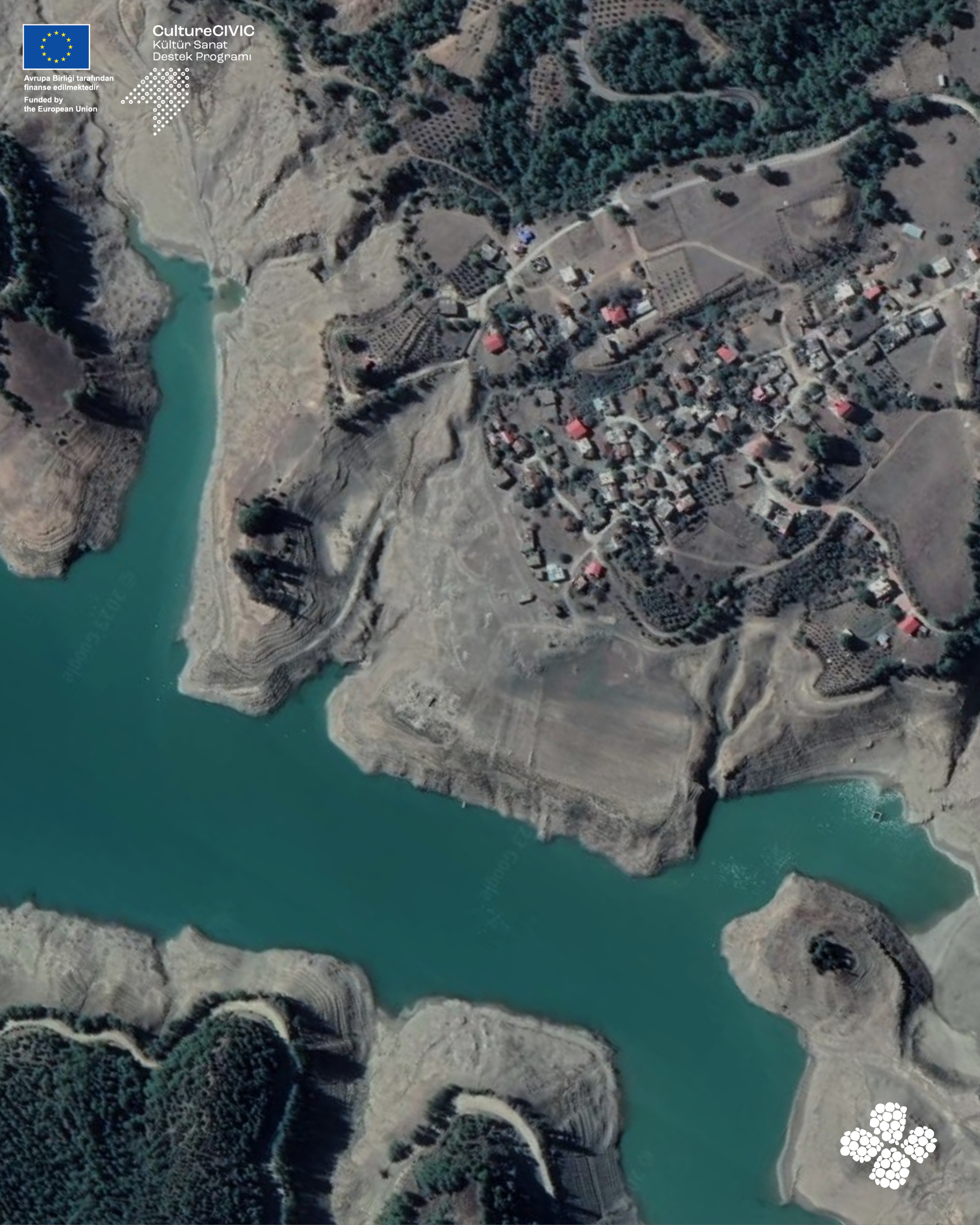
Yağmurlu bir günde Nergizlik barajı’na doğru yol alıyoruz. Baraj, Karaisalı ve Pozantı arasındaki dağlara yağan ve baharla birlikte eriyen karların ovaya ulaştığı yerde konumlanmış. Bir zamanlar taşan, kabaran Üçürge Deresi’nin sularını kontrol altında tutuyor. Çevre köyler, derenin suyunun altında kalan narenciye bahçelerinin, pamuk tarlalarının hikayelerini anlatırken şükrediyorlar bu barajı yapan akla. Çünkü Üçürge şimdi incecik akıyor, kolay kolay taşamıyor, baraj gölündeki su kanallarla ovaya kontrollü bir şekilde ulaşıyor ve sulu tarıma olanak sağlıyor. Dereyse Nergizlik Barajı’nın izin verdiği kadar akabilen suyunu havzanın bir diğer ucunda Çatalan Barajı Gölü’ne adeta teslim ediyor.
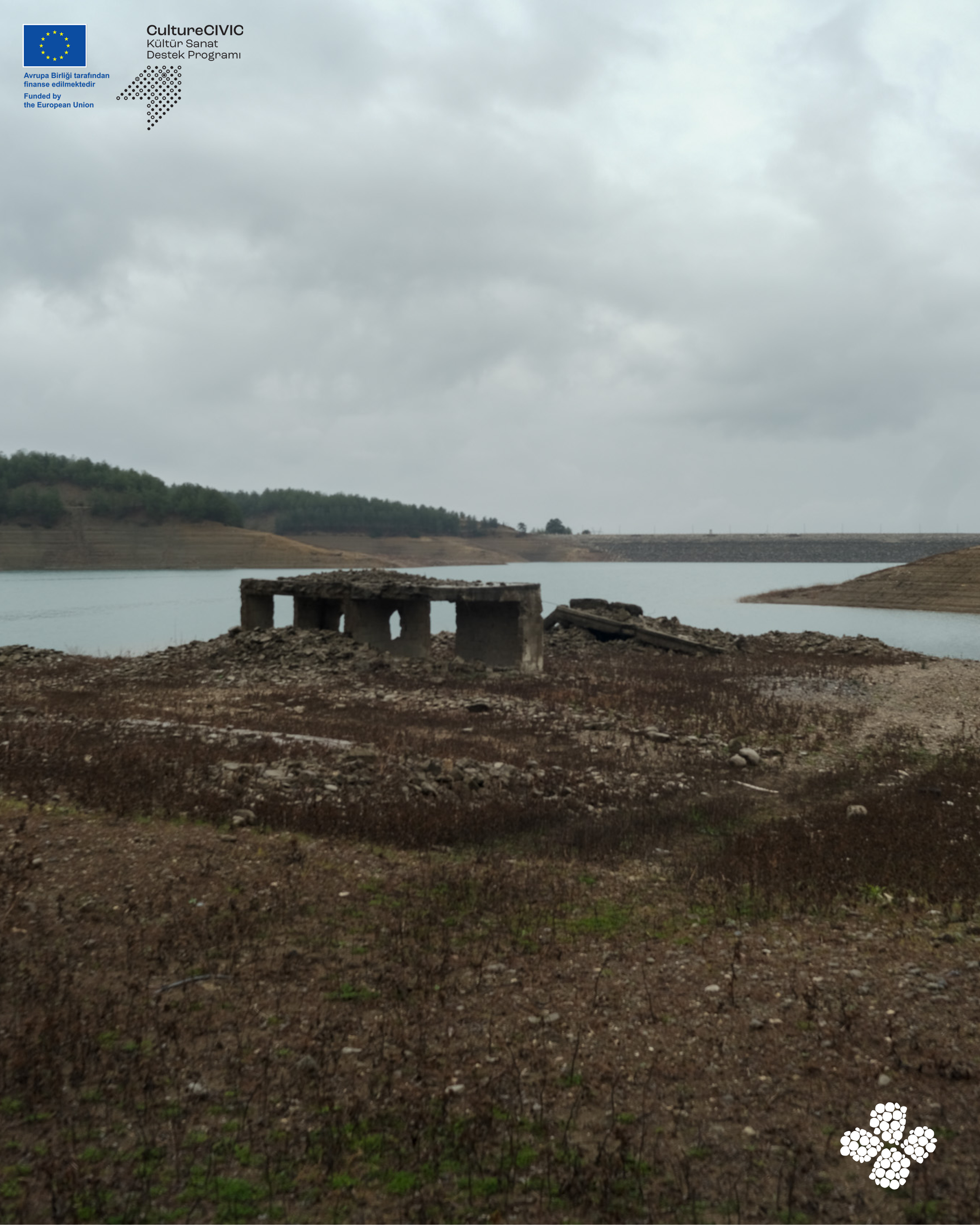
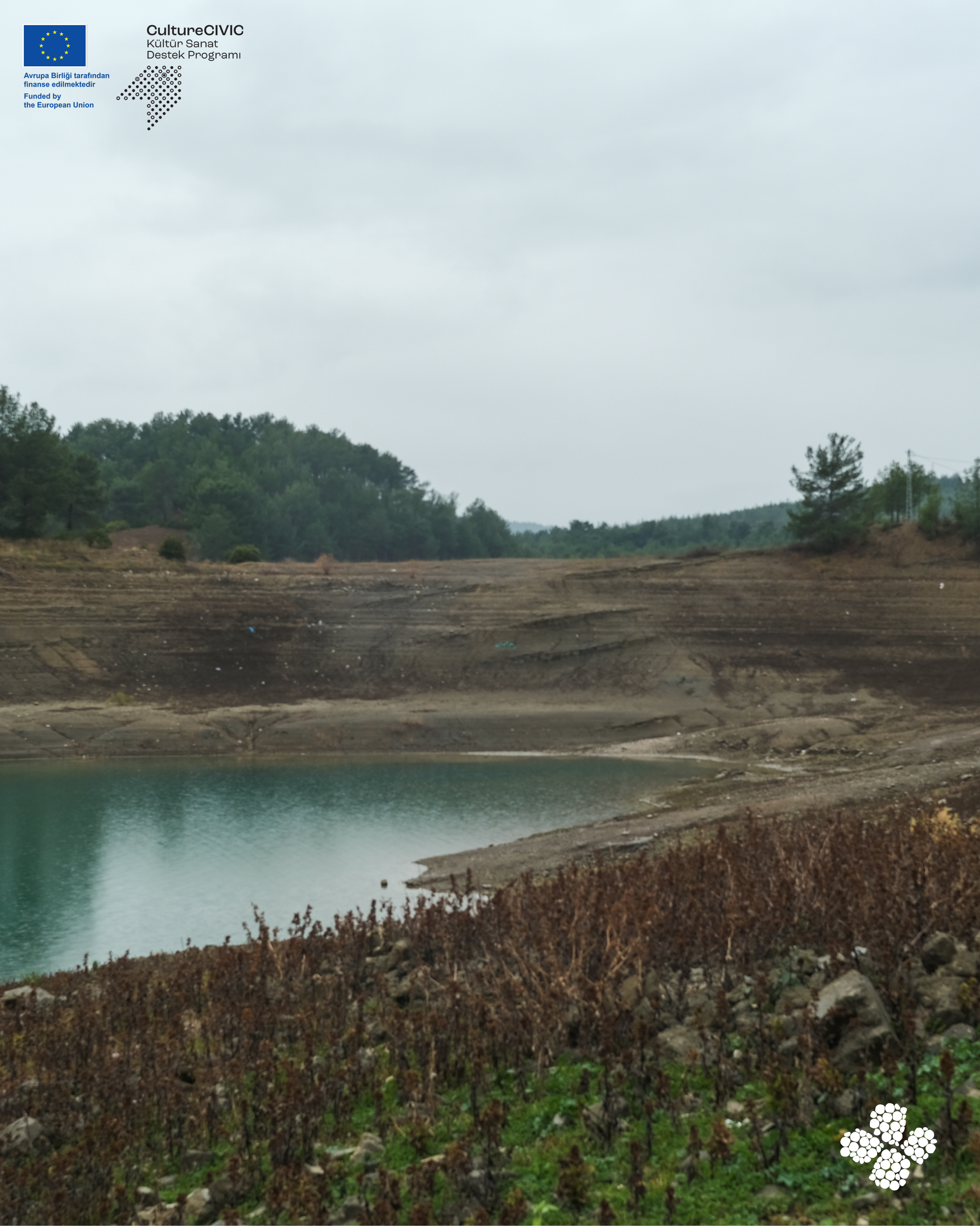
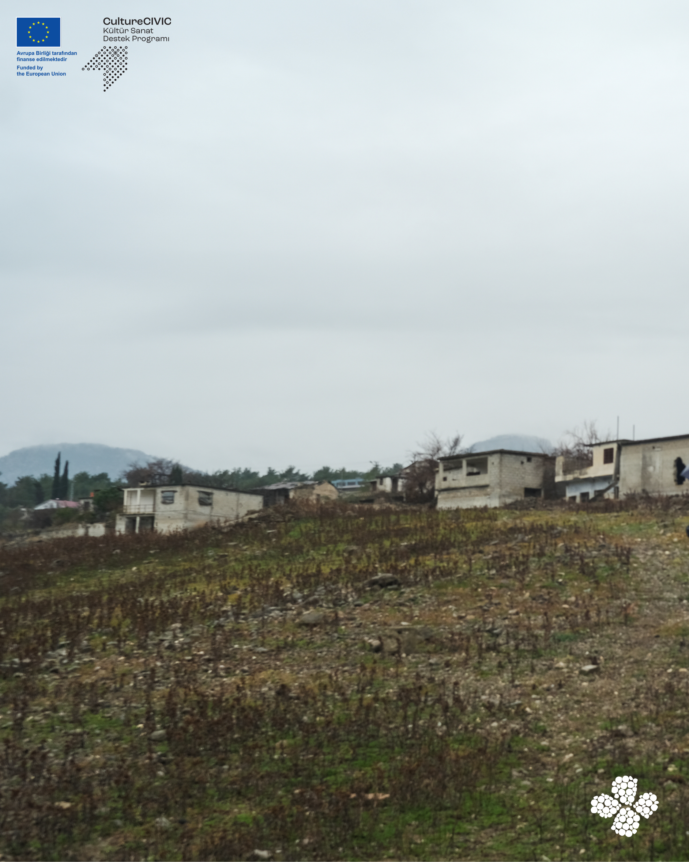
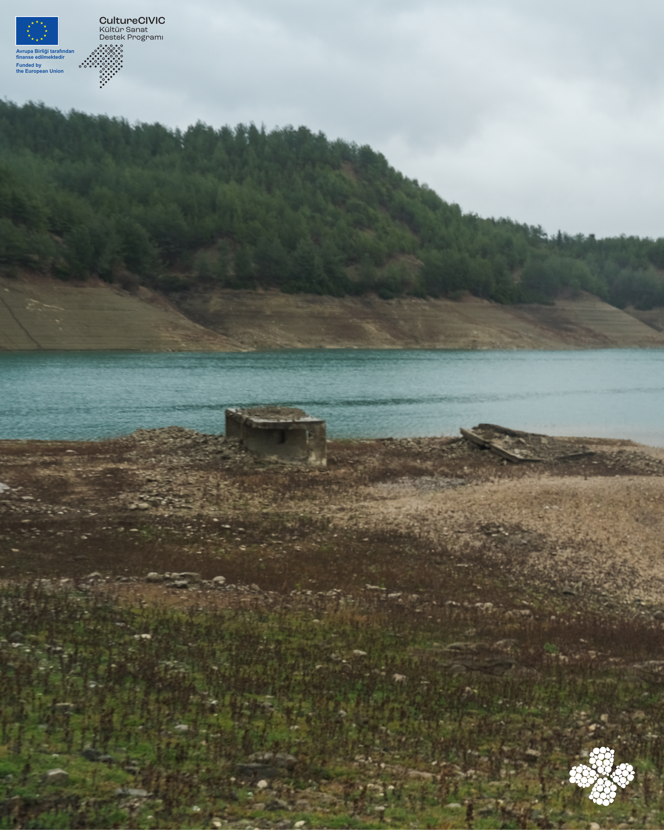
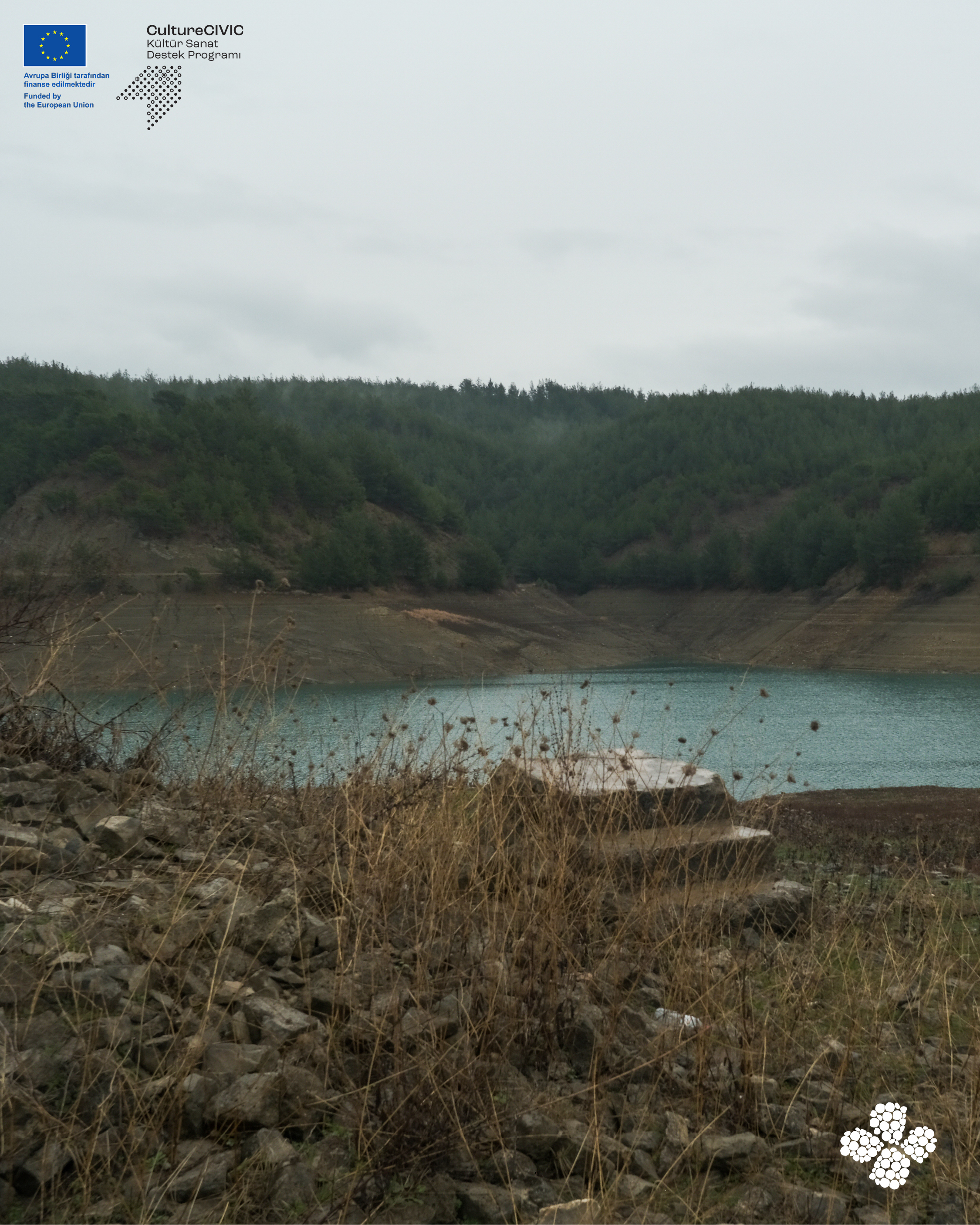
Baraj adını bir zamanlar pınarların ve Nergiz çiçeklerinin bol olduğu Nergizlik Köyü’nden alıyor. Bugün bir kısmı barajın sularına karışmış olan Nergizlik Köyü yörenin az sayıda Alevi köylerinden biri. Köyün barajdan etkilenmeyen kısmında hala yerlilerin Tahtacılar dediği ormancılık ve ağaç işçiliğiyle uğraşan Alevi Türkmenler yaşıyor. Yöredeki kuraklık barajın suyunun çekilmesine sebep olunca kaybolan yapıların ayakta kalan parçaları adeta kıyıya vuruyor.
Baraj adını bir zamanlar pınarların ve Nergiz çiçeklerinin bol olduğu Nergizlik Köyü’nden alıyor. Bugün bir kısmı barajın sularına karışmış olan Nergizlik Köyü yörenin az sayıda Alevi köylerinden biri. Köyün barajdan etkilenmeyen kısmında hala yerlilerin Tahtacılar dediği ormancılık ve ağaç işçiliğiyle uğraşan Alevi Türkmenler yaşıyor. Yöredeki kuraklık barajın suyunun çekilmesine sebep olunca kaybolan yapıların ayakta kalan parçaları adeta kıyıya vuruyor.
On a rainy day we make our way to the Nergizlik dam. The dam is located where the snow that falls on the mountains between Karaisalı and Pozantı and melts with the spring reaches the plain. It keeps the waters of the once overflowing and swollen Üçürge Stream under control. The surrounding villages tell the stories of Citrus Orchards and Cotton Fields that were submerged under the water of the stream. They thank the intellect that built this dam. Because the Üçürge now flows thinly, does not overflow easily, the water in the reservoir reaches the plain in a controlled manner through canals and enables irrigated agriculture. The stream flows as far as the Nergizlik Dam allows it to flow, and it is almost like delivered to the Çatalan Dam Lake at the other end of the basin.
The dam takes its name from the village of Nergizlik, where springs and Narcissus flowers were once abundant. Today, Nergizlik Village is one of the few Alevi villages in the region. The part of the village not affected by the dam is still inhabited by Alevi Turkmen called Tahtacılar, who are engaged in forestry and woodworking. When the drought in the region caused the dam's water to recede, the surviving parts of the lost structures were as if washed ashore.
The dam takes its name from the village of Nergizlik, where springs and Narcissus flowers were once abundant. Today, Nergizlik Village is one of the few Alevi villages in the region. The part of the village not affected by the dam is still inhabited by Alevi Turkmen called Tahtacılar, who are engaged in forestry and woodworking. When the drought in the region caused the dam's water to recede, the surviving parts of the lost structures were as if washed ashore.


Photos: Mahsul Projesi
Su kanalları, sulama sistemleri
ve suyun tasarrufu
Water canals, irrigation systems
and saving water
30.01.2023
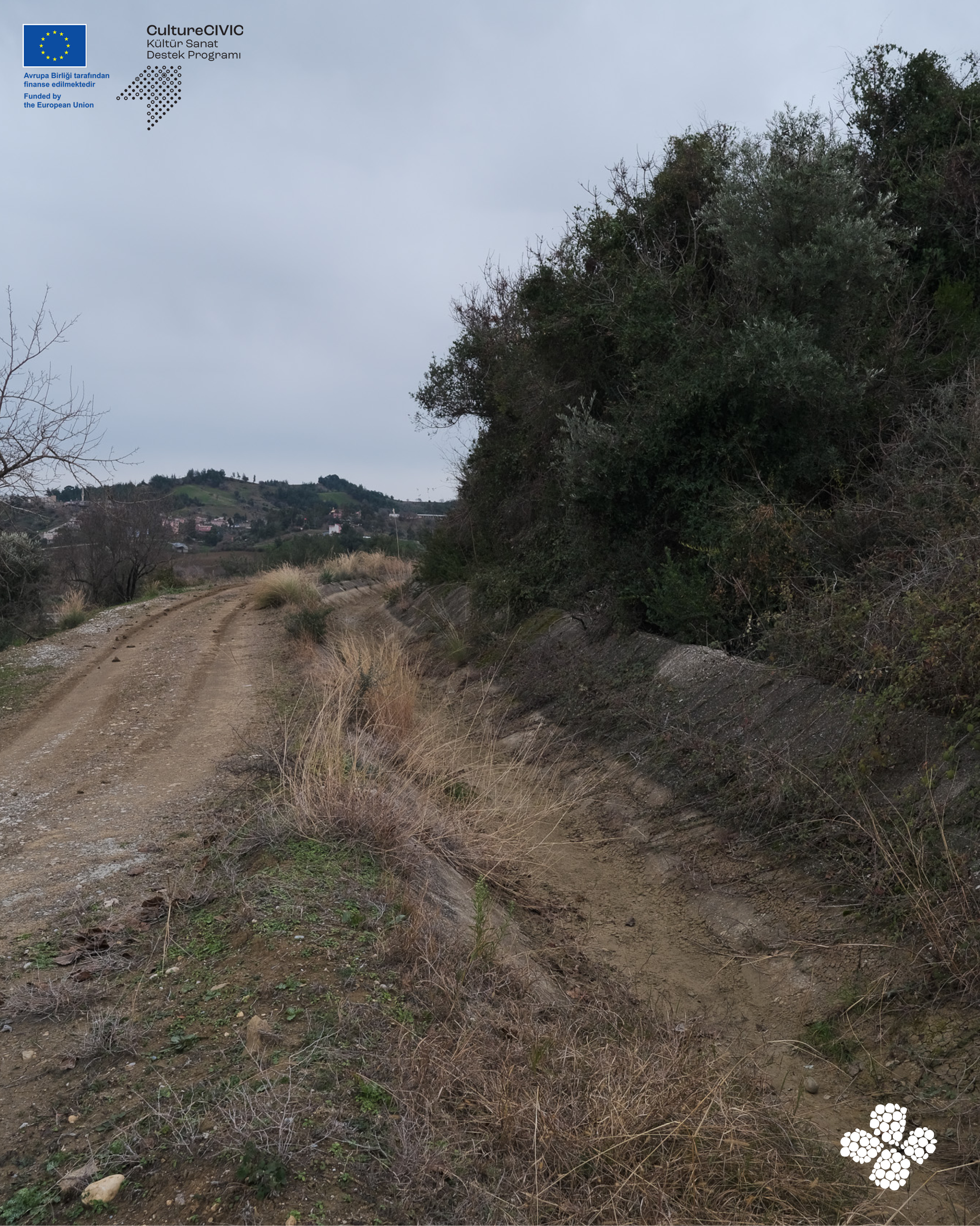
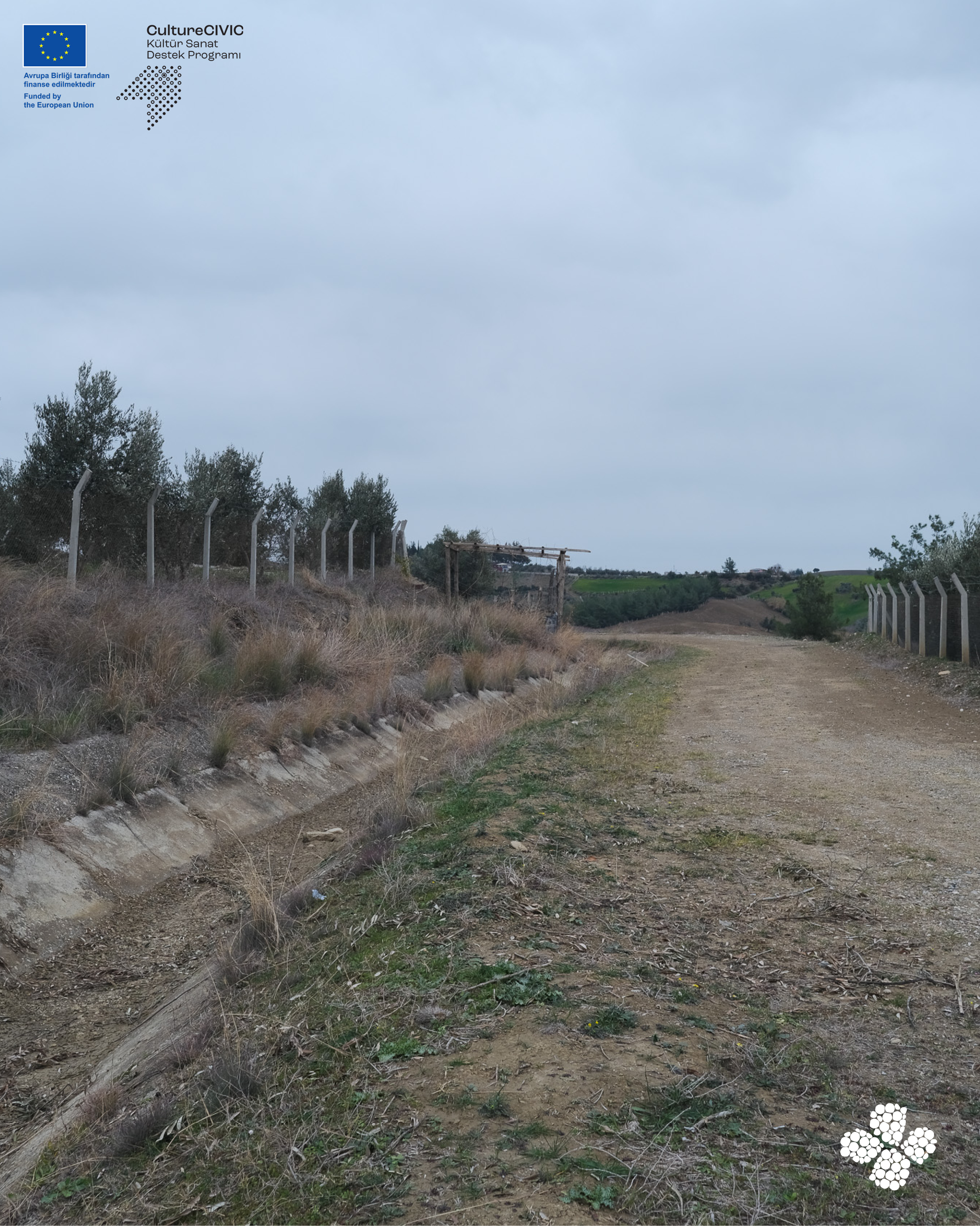
Havza gezilerimizde sık sık su kanallarıyla karşılaşıyoruz. Karaisalı’nın kuzeyinde de, küçük ölçekli bir baraj olan Nergizlik Barajı’ndan havzaya dağılan su, kanallarla tarım arazilerine ulaşıyor. Rehberimizden 30 yıl önce inşa edilen bu beton kanallara hakkında pek çok eleştiri dinliyoruz.
Öncelikle, açık kanal sisteminin Adana’da sıcak geçen yazlar için oldukça verimsiz olduğunu hatırlatıyor. Ayrıca 30 yılda yıpranan, çatlayan beton kanal sisteminin pek çok yerde su sızdırdığını ve suyun kontrolsüzce toprağa, yakındaki Üçürge Deresi’ne karıştığını ve ‘‘israf’’ olduğunu belirtiyor. Kontrol altına alınan suyun, kontrolden çıkarak yeniden doğaya karışması bu sistemin bir açığı muhakkak. Açık kanal sistemine bağlı elektrikli su motorları kanalın yukarısında kalan topraklara su taşıyor. Bunu da başka bir enerji israfı ve masraf olarak niteliyor.
Karaisalı’nın doğusundaki Çatalan Barajı çevresindeki kapalı su sisteminin çok daha verimli olduğunu söylüyor. Aynı zamanda bu sistemin önümüzdeki kurak yazlar için elverişli, su tasarrufu yapan bir yapısı var. Kapalı, basınçlı su altyapısına bağlanan damlama su sistemi ile üreticilerin suyu tasarruflu kullanabileceği düşünülüyor.
Kanalların inşasından evvel dereye yakın arazilerde dereden su çekerek sulu tarım yapıldığını, uzak arazilerde yağmur suyuna tabii kuru tarım yapıldığını öğreniyoruz. Bugünse kuru tarım bilgisi pek çok genç üretici için uzak bir hatıra. Dere yakınındaki arazi daha şanslı olmuyor mu bu durumda sorumuza cevap derenin de o zamanlar gönlünce taşan, kontrol altına alınmamış olduğunu hatırlatıyor.
Su kanalları, sulama sistemleri üzerine sohbet, Nergizlik Barajı’na ve günümüzde azalan su seviyesine uzanıyor.
During our visits to the river basins, we often come across water canals. In the north of Karaisalı, the water distributed from the Nergizlik Dam, a small-scale dam, reaches the agricultural lands through canals. We hear many criticisms from our guide about these concrete canals built 30 years ago.
First of all, he reminds us that the open canal system is quite inefficient for hot summers in Adana. He also points out that the concrete canal system, which has worn out and cracked in 30 years, leaks water in many places, and the water uncontrollably enters the soil and the nearby Üçürge Creek, which is a "waste". It is surely a flaw of this system that the water, which is under control, gets out of control and reemerges into nature. Electric water motors connected to the open canal system carry water to the land above the canal. He describes this as another waste of energy and expense.
He says the closed water system around the Çatalan Dam east of Karaisalı is much more efficient. At the same time, this system has a water-saving structure that is suitable for the coming dry summers. With a drip water system connected to a closed, pressurized water infrastructure, farmers are expected to be able to save water.
We learn that before the construction of the canals, irrigated agriculture was practiced in the lands close to the stream by drawing water from the stream, while in the distant lands dry farming was practiced with rainwater. Today, knowledge of dry farming is a distant memory for many young farmers. When we ask whether the land near the stream is not more fortunate in this case, the answer reminds us that the stream was also overflowing and uncontrolled at that time.
The conversation on water canals and irrigation systems leads to the Nergizlik Dam and the declining water level today.




Photos: Mahsul Projesi
‘‘Bakarsan bağ, bakmazsan dağ olur’’ve 1858 Arazi Kanunnamesi
"If you care, it's a vineyard, if you don't, it's a mountain" and the Land Code of 1858
29.01.2023
Öbekleşmiş yabani ağaçlar, çalılar arasında arasında sürülmüş tarlalar, bakımlı bahçelerde, bağlarda türlü meyveler, tahıllar yetişiyor. Bakılan, terbiye edilen dağların, bağa, bahçeye evrildiğini, etrafı çevrilerek mülke dönüştüğünü çevre köylerdeki görüşmelerimizde de dinliyoruz.
Bu hikayeler, bize ilkin ‘’Bakarsan dağ, bakmazsan bağ olur’’ atasözünü hatırlatıyor. Öte yandan, Onur İnal’ın Batı Anadolu’da gerçekleşen dönüşümü çevre tarihi perspektifinden ele aldığı ‘‘İmparatorluğun Meyveleri: 19. Yüzyıl Sonunda İncir, Kuru Üzüm ve Batı Anadolu'nun Dönüşümü’’ isimli makalesine de Çukurova’dan referanslar veriyor. Bu metinde de belirtilen, 1858 Arazi Kanunnamesi Anadolu’nun pek çok yerinde ormanlık, makilik alanların tarımsal kullanıma açılmasının önünü açıyor. Özellikle de ‘‘mevat arazi’’ olarak adlandırılan sahipsiz alanların ekim dikim faaliyetleri ile özel mülke geçmesinin önü açılıyor. İnal’ın makalesinde agroekolojik bir bakış açısıyla yorumladığı gibi, mülkiyet ilişkilerini yeniden tanımlayan ve araziyi bir kaynağa dönüştüren bu değişiklik Anadolu’da insanın çevre üzerindeki etkisinin arttığı yeni bir dönemin miladı (2021).
Nüfusunun büyük bir çoğunluğu yörük kökenli olan Karaisalı Köylerine geç yerleşilmiş olduğu için mülkiyet hikayeleri de oldukça taze. Yamaçlarda büyüyen mahsüllerin arasında kalan yabani ağaçlar ve çalılarda bir zamanların ‘‘mevat’’ arazilerinin izlerini görüyoruz.
Among the clustered wild trees and bushes, plowed fields, well-kept gardens and vineyards grow various fruits and grains. We also hear in our interviews in the surrounding villages that the mountains that were reclaimed have turned into vineyards and gardens, and have been surrounded and turned into property.
These stories remind us of the local saying "If you look, it becomes a vineyard, if you don't, it becomes a mountain". On the other hand, the Çukurova landscape also makes reference to Onur İnal's article,"Fruits of Empire: Figs, Raisins, and Transformation of Western Anatolia in the Late Nineteenth Century." As mentioned in this text on the transformation in Western Anatolia from the perspective of environmental history, the Land Code of 1858 paved the way for the opening of forested and maquis lands for agricultural use in many parts of Anatolia. In particular, it paves the way for the private ownership of unclaimed areas called "mevat arazi" through cultivation and planting activities. As İnal interprets from an agroecological perspective in his article, this change, which redefines property relations and transforms land into a resource, is the milestone of a new era in Anatolia in which human impact on the environment is increasing.
The villages of Karaisalı, where the majority of the population is of nomadic origin, were settled late, so their ownership stories are quite fresh. In the wild trees and shrubs among the crops growing on the hillsides, we see traces of the "mevat" (unclaimed) lands of the past.


Photos: Mahsul Projesi
Karaisalı Ovası’nı saran tepeler ve ağaçlar
Hills and trees surrounding the Karaisali Plain
29.01.2023
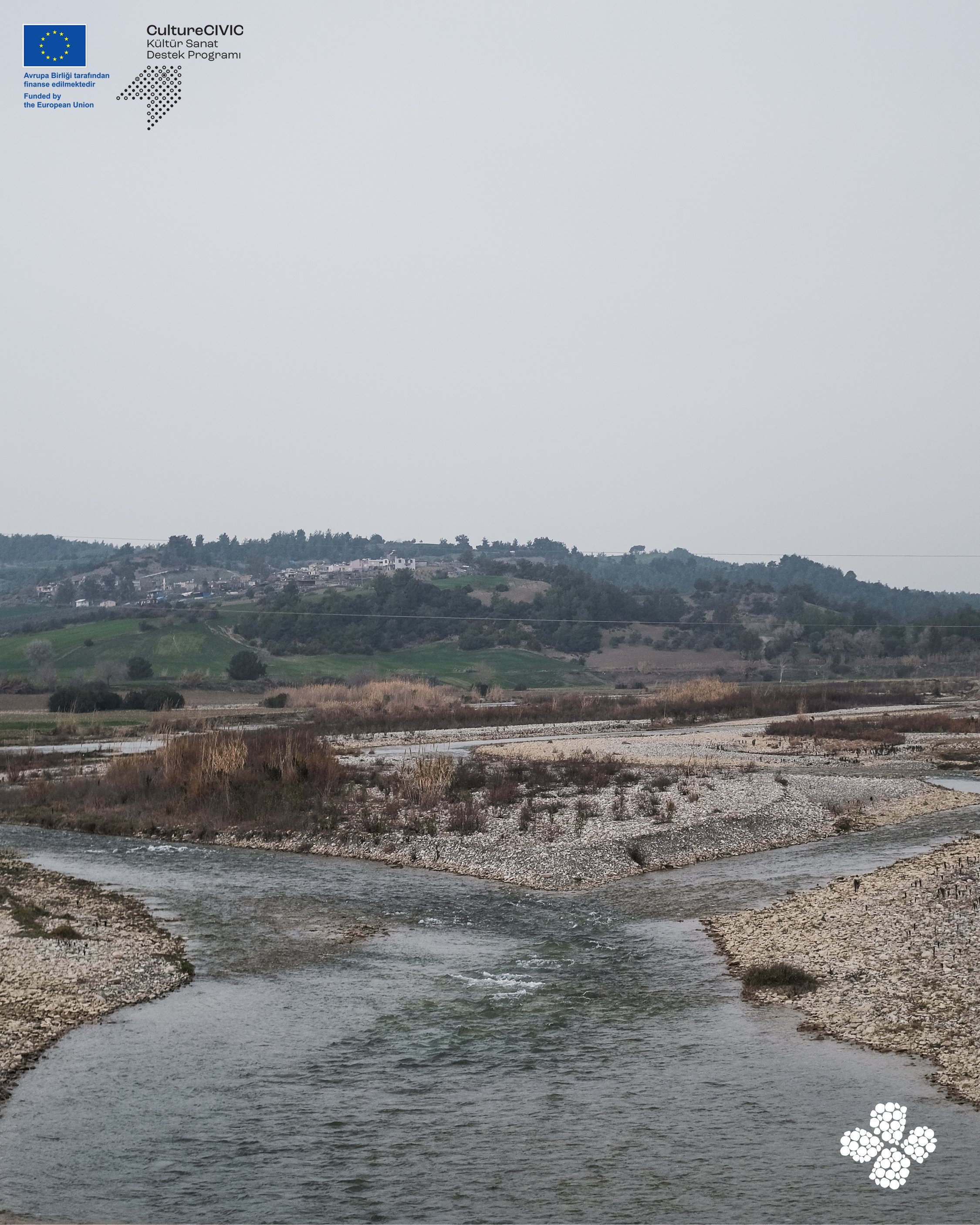
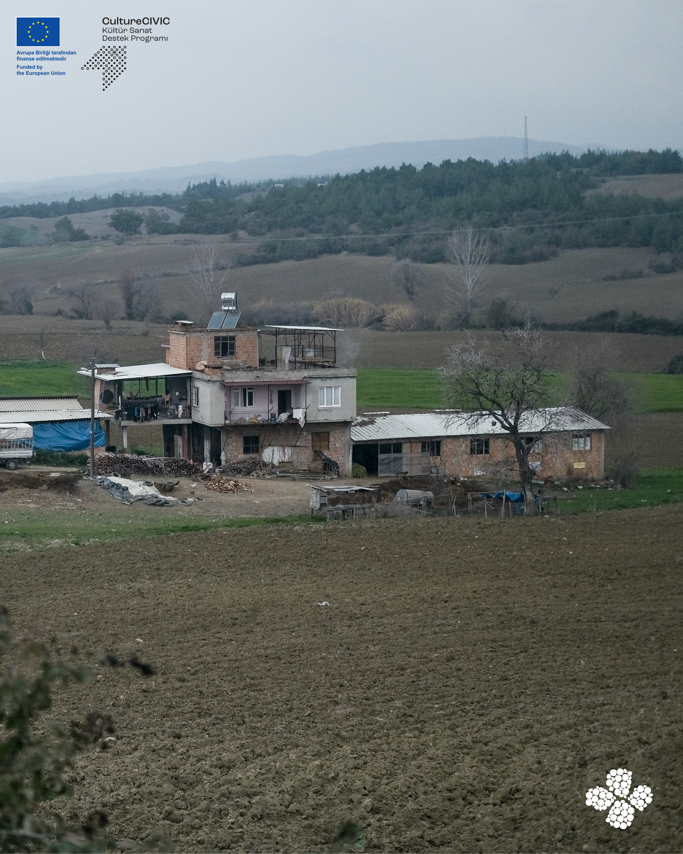
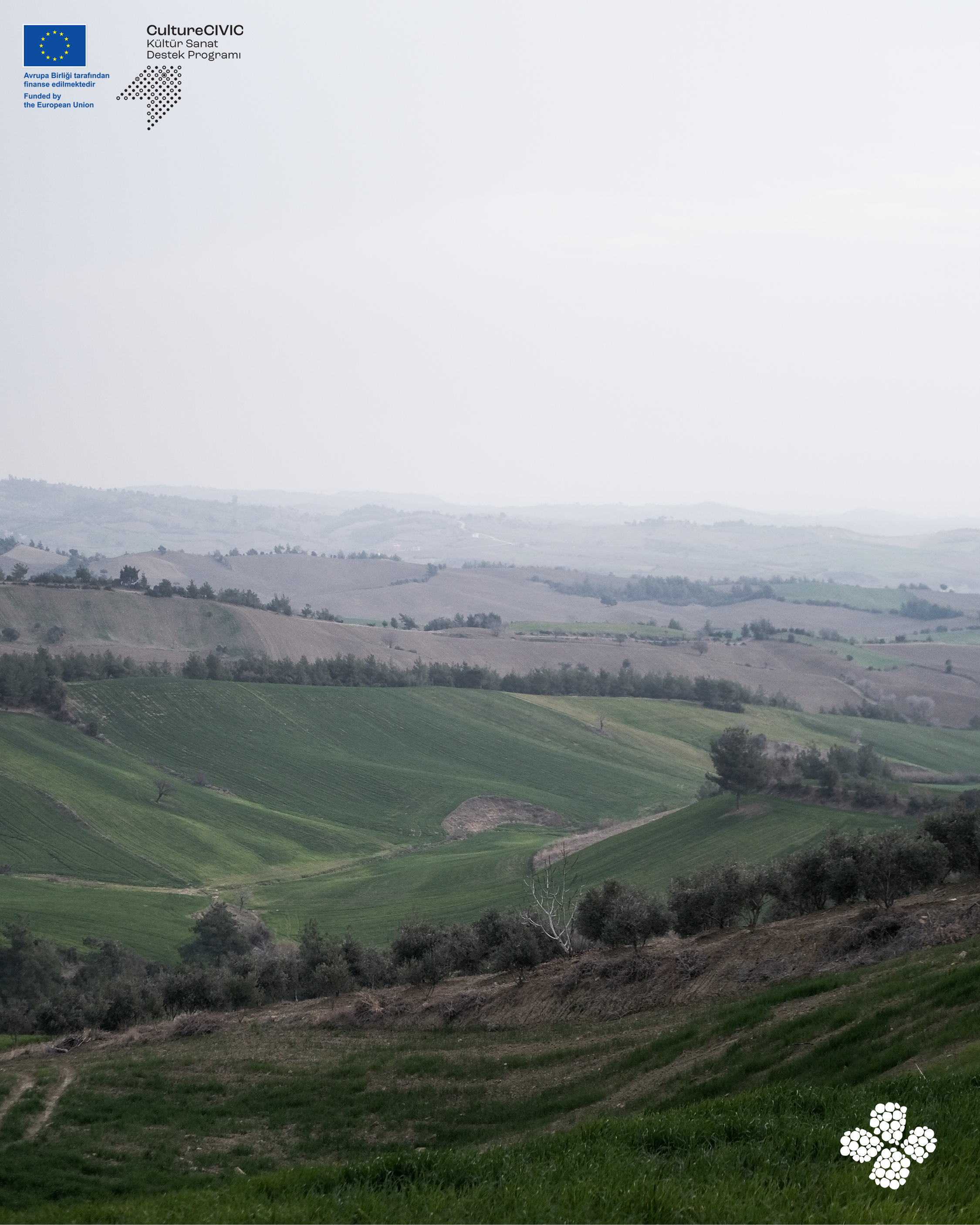
Karaisalı Ovası tepelere yerleşmiş sağlı sollu köylerle çevrili. Bir ovadan çok üçürge deresinin çevresinde açılmış genişçe bir vadi gibi de okunabilir Karaisalıların ova diye adlandırdıkları bu bölge.
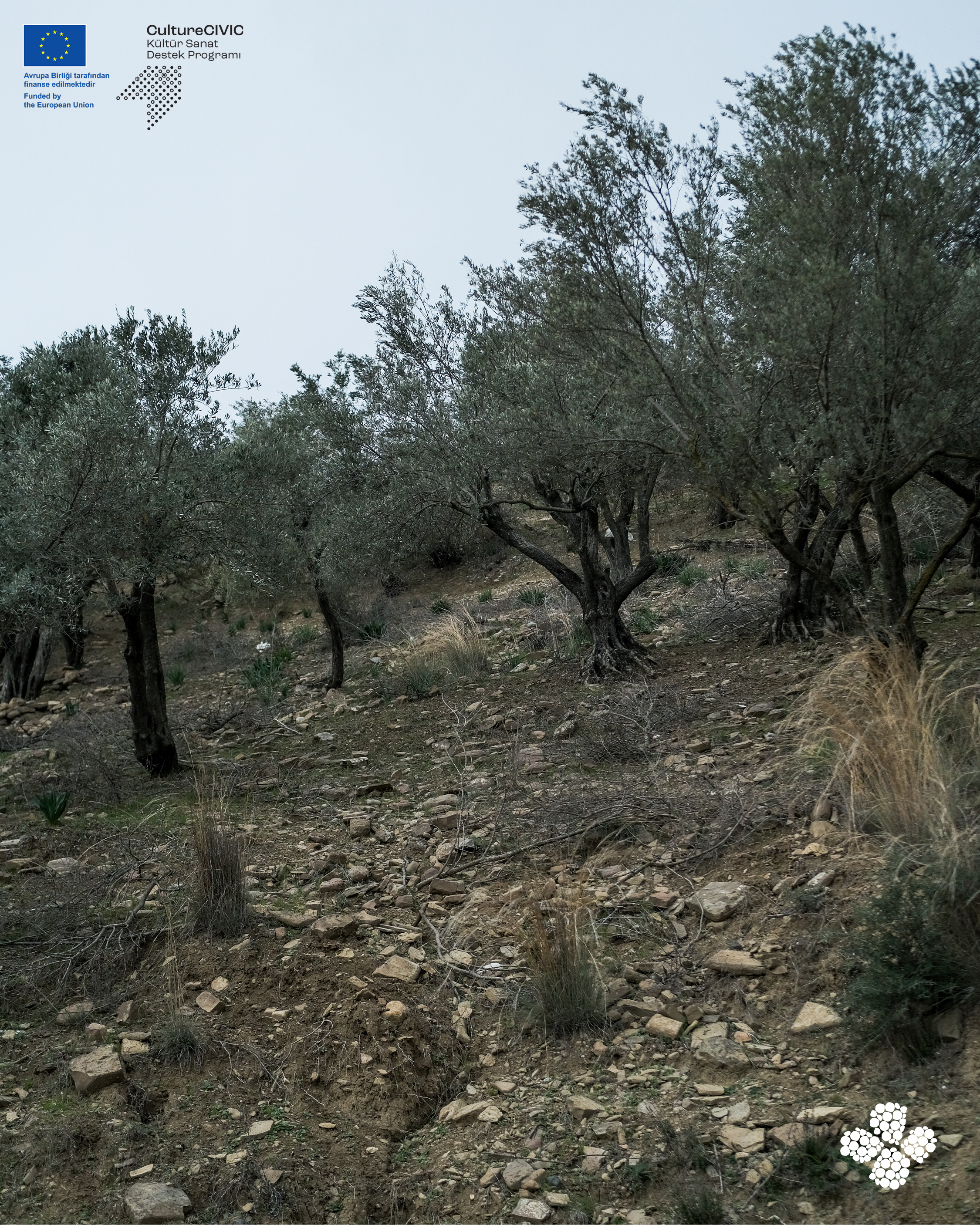
Üçürge Deresi’ni takip ettikçe Karaisalı’nın tepelik köylerine doğru çıkıyoruz. Tepelerin eteklerinde genç zeytin ve nar ağaçlarının sıralandığı arazileri görüyoruz. Gözden düşen üzüm bağlarının yerini yer yer Nektarin bahçeleri almış. Öte yandan yeni açılan zeytin fabrikaları birkaç köyün girişinde dikkatimizi çekiyor. Yörede yaptığımız görüşmelerde 90’lı yılların sonundan itibaren yörede zeytin yetiştiriciliğine dair yükselen ilginin altını çiziyor. Zeytinliklerin bir kısmı aşılanan, çevresi ıslah edilen yabani zeytinlerden oluşuyorken bir kısmı da zamanında ziraat ofisinden alınmış, gemlik tipi zeytin fidanlarının büyümesiyle oluşmuş. Narsa zeytinden daha genç. Özellikle de yapısal özellikleri dolayısıyla bölgenin kuraklaşan iklim şartlarına uyum sağlayabilen narlar çevredeki çiftçilerin yeni gözdelerinden biri.
Üçürge Deresi’ni takip ettikçe Karaisalı’nın tepelik köylerine doğru çıkıyoruz. Tepelerin eteklerinde genç zeytin ve nar ağaçlarının sıralandığı arazileri görüyoruz. Gözden düşen üzüm bağlarının yerini yer yer Nektarin bahçeleri almış. Öte yandan yeni açılan zeytin fabrikaları birkaç köyün girişinde dikkatimizi çekiyor. Yörede yaptığımız görüşmelerde 90’lı yılların sonundan itibaren yörede zeytin yetiştiriciliğine dair yükselen ilginin altını çiziyor. Zeytinliklerin bir kısmı aşılanan, çevresi ıslah edilen yabani zeytinlerden oluşuyorken bir kısmı da zamanında ziraat ofisinden alınmış, gemlik tipi zeytin fidanlarının büyümesiyle oluşmuş. Narsa zeytinden daha genç. Özellikle de yapısal özellikleri dolayısıyla bölgenin kuraklaşan iklim şartlarına uyum sağlayabilen narlar çevredeki çiftçilerin yeni gözdelerinden biri.
Karaisalı Plain is surrounded by villages settled on the hills. This region can also be read as a wide valley around the Üçürge Stream.
As we follow the Üçürge Stream, we move towards the hilly villages of Karaisalı. At the foot of the hills we see fields lined with young olive and pomegranate trees. Nectarine orchards have taken the place of the disgraced vineyards. On the other hand, newly opened olive factories are visible at the entrance of a few villages. Our local interviews underline the rising interest in olive cultivation in the region since the late 90s. Some of the olive groves are made up of wild olives that have been grafted and the environment has been rehabilitated, while some of them were formed by the growth of Gemlik type olive saplings purchased from the agricultural office. On the other hand, pomegranates are younger than olives. Pomegranates are one of the new favorites of the farmers in the region, especially because pomegranates can adapt to the arid climate conditions of the region.
As we follow the Üçürge Stream, we move towards the hilly villages of Karaisalı. At the foot of the hills we see fields lined with young olive and pomegranate trees. Nectarine orchards have taken the place of the disgraced vineyards. On the other hand, newly opened olive factories are visible at the entrance of a few villages. Our local interviews underline the rising interest in olive cultivation in the region since the late 90s. Some of the olive groves are made up of wild olives that have been grafted and the environment has been rehabilitated, while some of them were formed by the growth of Gemlik type olive saplings purchased from the agricultural office. On the other hand, pomegranates are younger than olives. Pomegranates are one of the new favorites of the farmers in the region, especially because pomegranates can adapt to the arid climate conditions of the region.



Photos: Mahsul Projesi
Nar bahçesi ve
damlama su
Pomegranate orchard and
drip irrigation system
28.01.2023
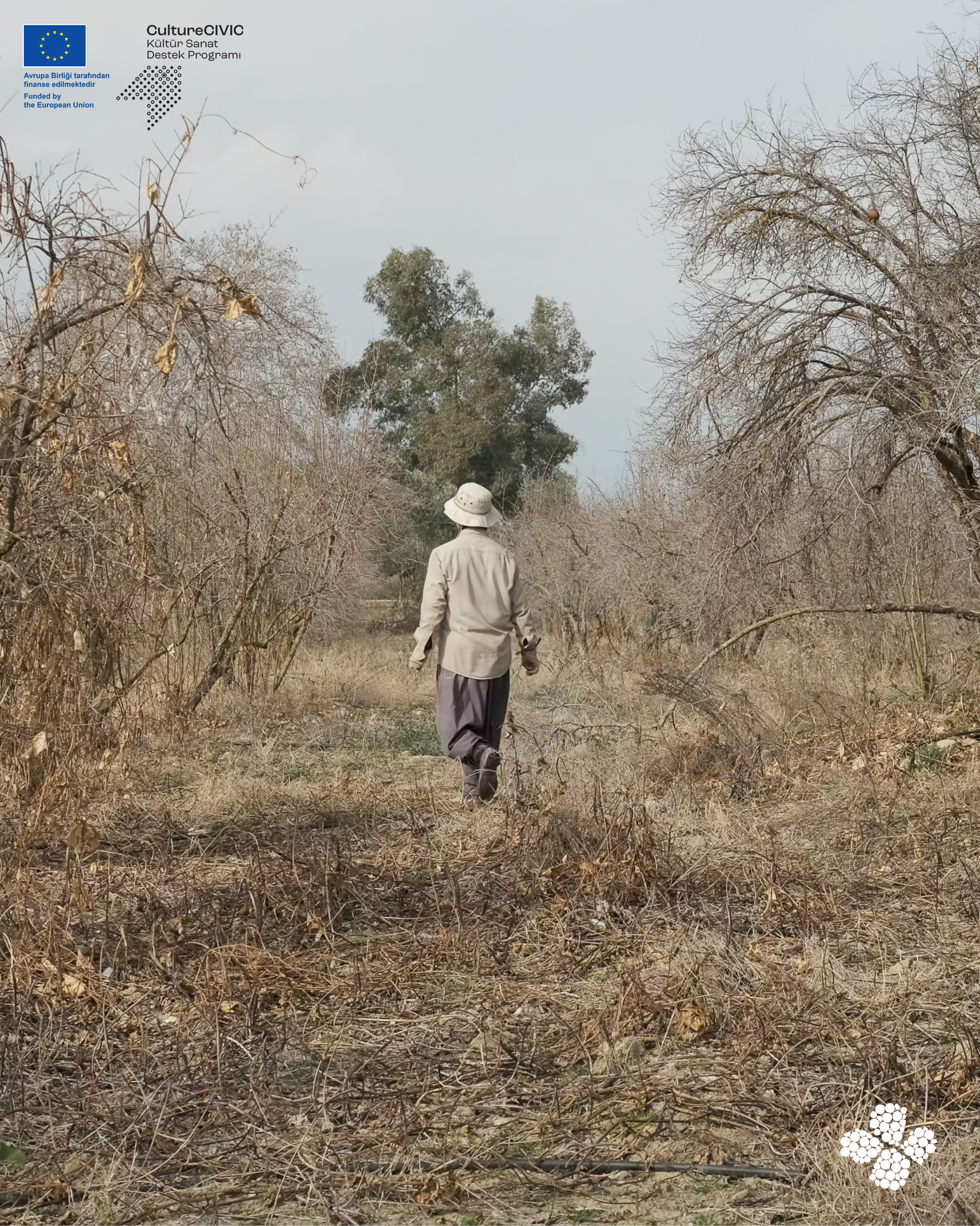
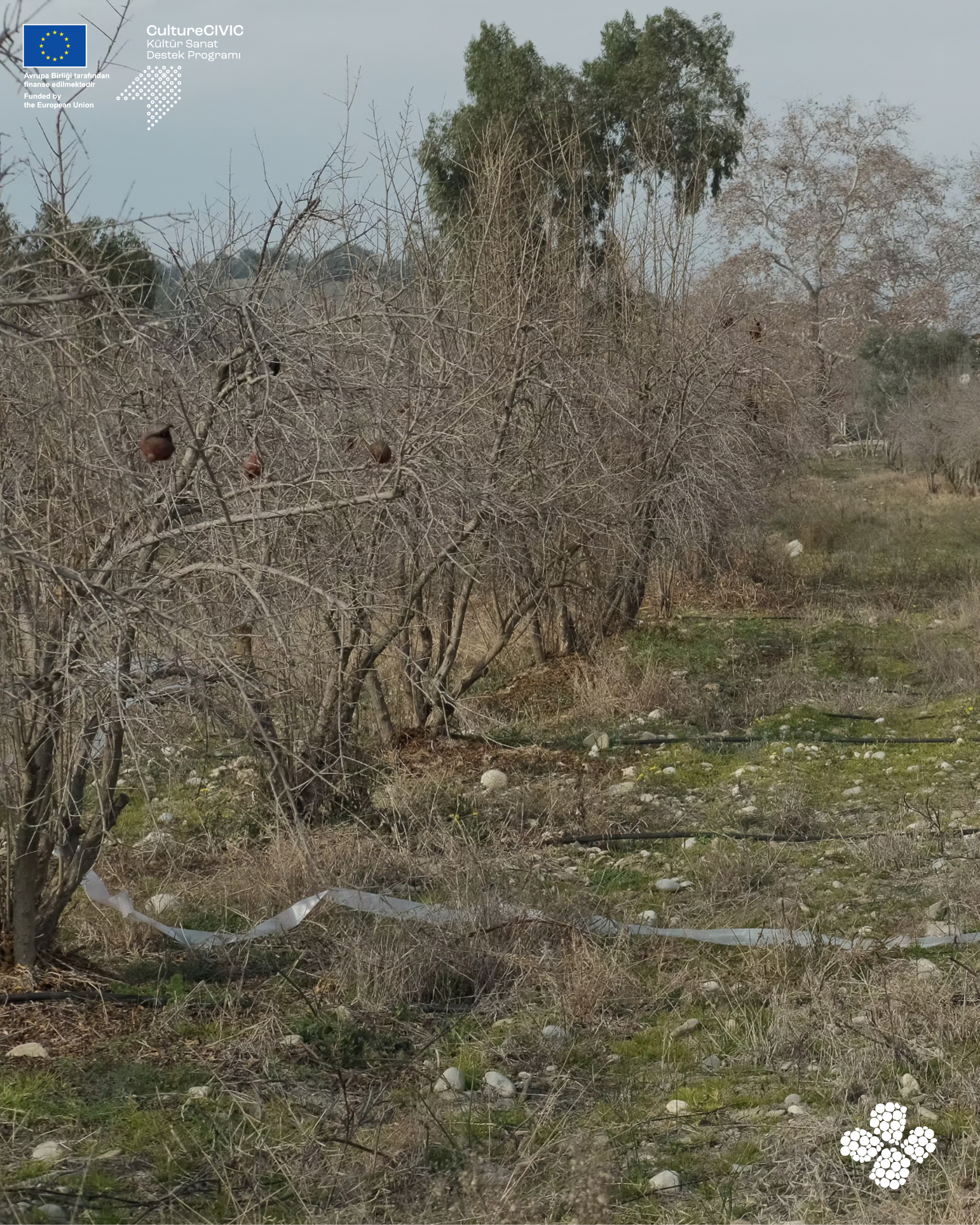
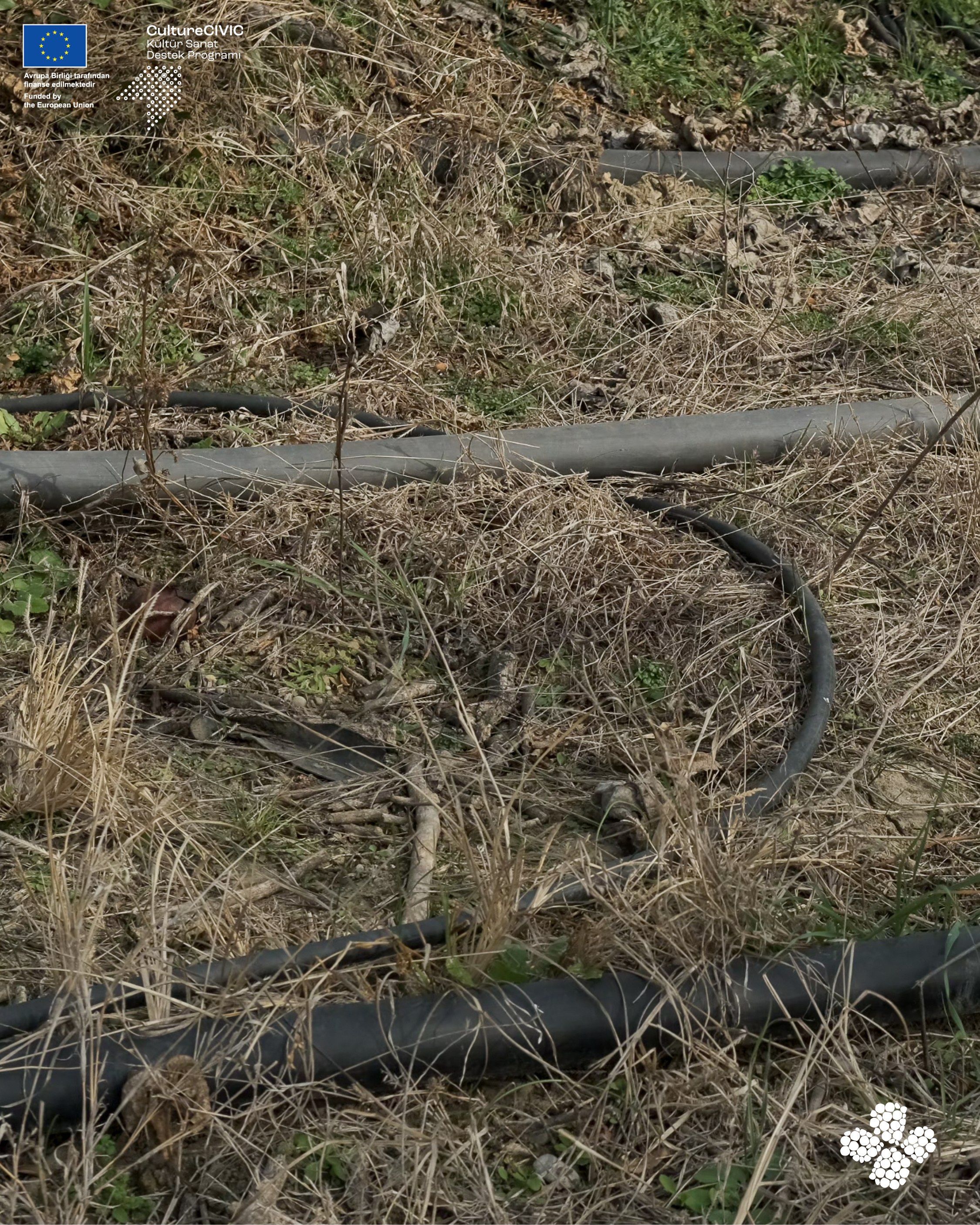
Üçürge Deresi’nin kıyısında mütevazi bir nar bahçesini ziyaret ediyoruz. 300 kadar nar ağacının çevresindeki el yordamıyla yapılmış damlama su tesisatıyla ilgili harıl harıl bir çalışma sürüyor. Bu araziler bir zamanlar derenin yatağında her an su basma tehdidi altındayken günümüz kuraklık koşullarında böyle bir durumla karşılaşmanın mümkün olmadığını söylüyor nar bahçesinin sahibi. O kadar su ne yaz ne de kış uğramıyor bu dereye diyor. Bu bahçe varolan sulama altyapısından değil de dereden sağlıyor suyunu. Boruyla getirilen sular damlama tesisatına yayılıyor.
Özellikle de yağışların her sene daha da azaldığı ve iklim şartlarının ekolojik krizle birlikte sertleştiği mevsimlerde mahsul alabilmek için suyun önemi çok büyük. Nar yetiştiricisi endüstriyel veya el yordamıyla kurulan damlama tesisatlarının sulama konusunda çok büyük bir fayda sağladığını aktarıyor.
Özellikle de yağışların her sene daha da azaldığı ve iklim şartlarının ekolojik krizle birlikte sertleştiği mevsimlerde mahsul alabilmek için suyun önemi çok büyük. Nar yetiştiricisi endüstriyel veya el yordamıyla kurulan damlama tesisatlarının sulama konusunda çok büyük bir fayda sağladığını aktarıyor.
We visited a modest pomegranate orchard on the banks of the Üçürge Stream. Around the 300 pomegranate trees, work is in progress on a handmade drip irrigation installation. The owner of the pomegranate orchard says that while these lands were once under the threat of flooding at any time in the bed of the stream, it is not possible to face such a situation in today's drought conditions. That much water does not come to this creek in summer or winter. This garden gets its water from the stream, not from the existing irrigation infrastructure. The water brought by pipe is spread through the drip irrigation system.
Water is very important for harvesting crops, especially in seasons when rainfall is decreasing every year and climate conditions are getting harsher with the ecological crisis. The owner of the pomegranate orchad explains that drip installations, whether industrial or improvised, provide a huge benefit in terms of irrigation.
Water is very important for harvesting crops, especially in seasons when rainfall is decreasing every year and climate conditions are getting harsher with the ecological crisis. The owner of the pomegranate orchad explains that drip installations, whether industrial or improvised, provide a huge benefit in terms of irrigation.


Photos: Mahsul Projesi


